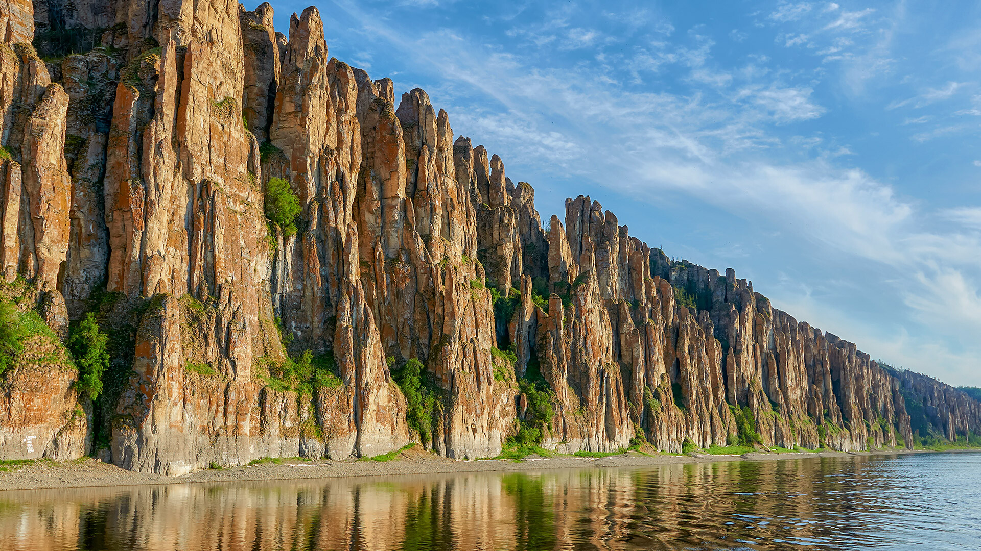
The main attraction of the national park of the same name are the syenite rocks that formed during the solidification of magma in the earth’s crust. The territory of the national park features 189 rocks and rock formations. Some of them resemble the silhouettes of giants and mythical creatures.
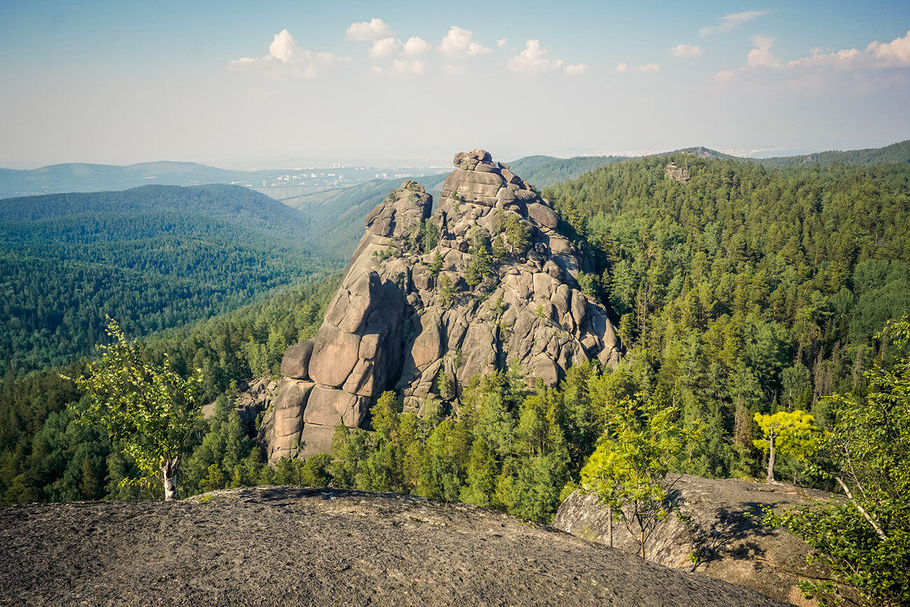
In 1851, the local movement of ‘pillarism’ emerged there – a community of rock climbers and mountaineers who preferred to conquer the local rocks without any belaying.
It’s best to observe the cliffs of the Lena Pillars national park from the Lena River. A fantastic view of a wall of cliffs, spanning many kilometers, will open before you!
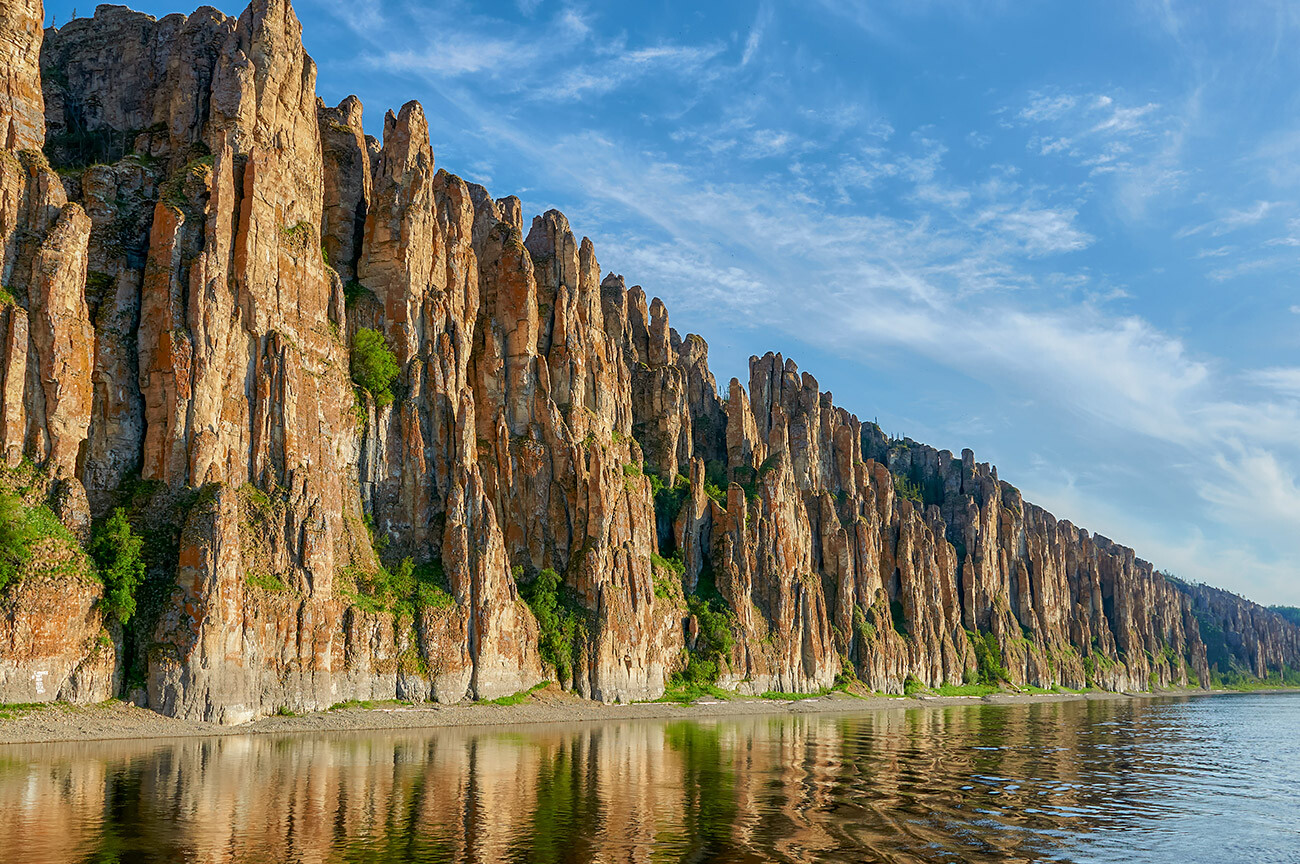
The rocks consist of Cambrian limestone. They acquired their quaint crest shape, due to rock weathering. The pillars reach a height of approximately 320 meters above sea level.
‘Manpupuner’ from the Mansi language translates as ‘Small Idol Mountain’. This geological monument is located in the Pechoro-Ilychski Reserve. We’re talking about seven stone pillars, each 42 meters tall.
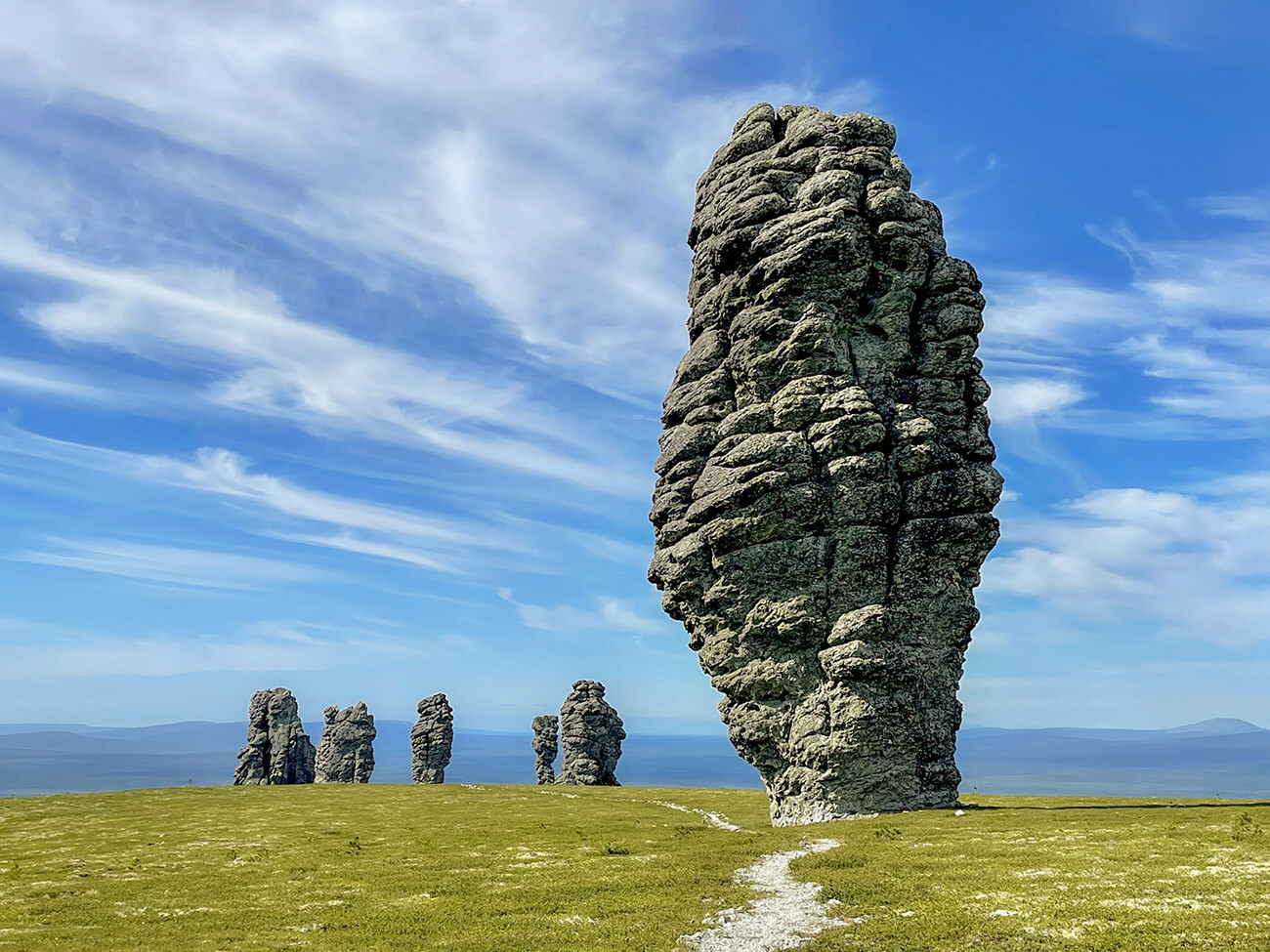
They were once mountains, but, exposed to weather conditions, they crumbled and, now, only their cores remain - so-called sericite-quartzite schists. These rocks, resembling animal heads, an upside-down bottle or a human profile, were an object of worship for the Mansi people. They considered it a sin to attempt to “conquer”, i.e. climb, these former mountains.
‘Kurum’, or the longest stone river in the world, is located in the Taganay national park in Chelyabinsk Region. Its length reaches 6 kilometers, with a 700-meter width at its widest. This natural phenomenon appears in places with elevation changes: the stones slowly slide down the peaks, forming a “river bed”. There are versions that stone rivers “flew” from the mountains during the Ice Age, when the glaciers began to melt.
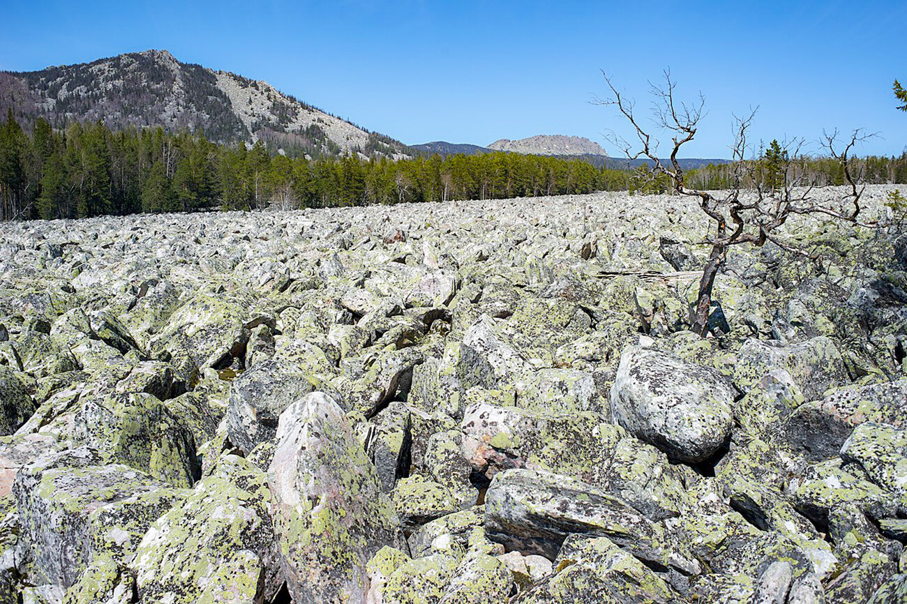
‘Kurums’ can be seen in the Urals (Chelyabinsk Region, Perm Territory, and Bashkiria), as well as in the Sayan Mountains in Southern Siberia. Many of them are located in hard-to-reach places among the taiga mountains.
‘Sieidis’ are giant boulders “on legs” – ie. smaller rocks. According to the generally accepted version, these unusual objects are natural: a melting glacier slowly “lowered” a large boulder on its supports. However, other – miniature – ‘sieidis’ could be human-made.
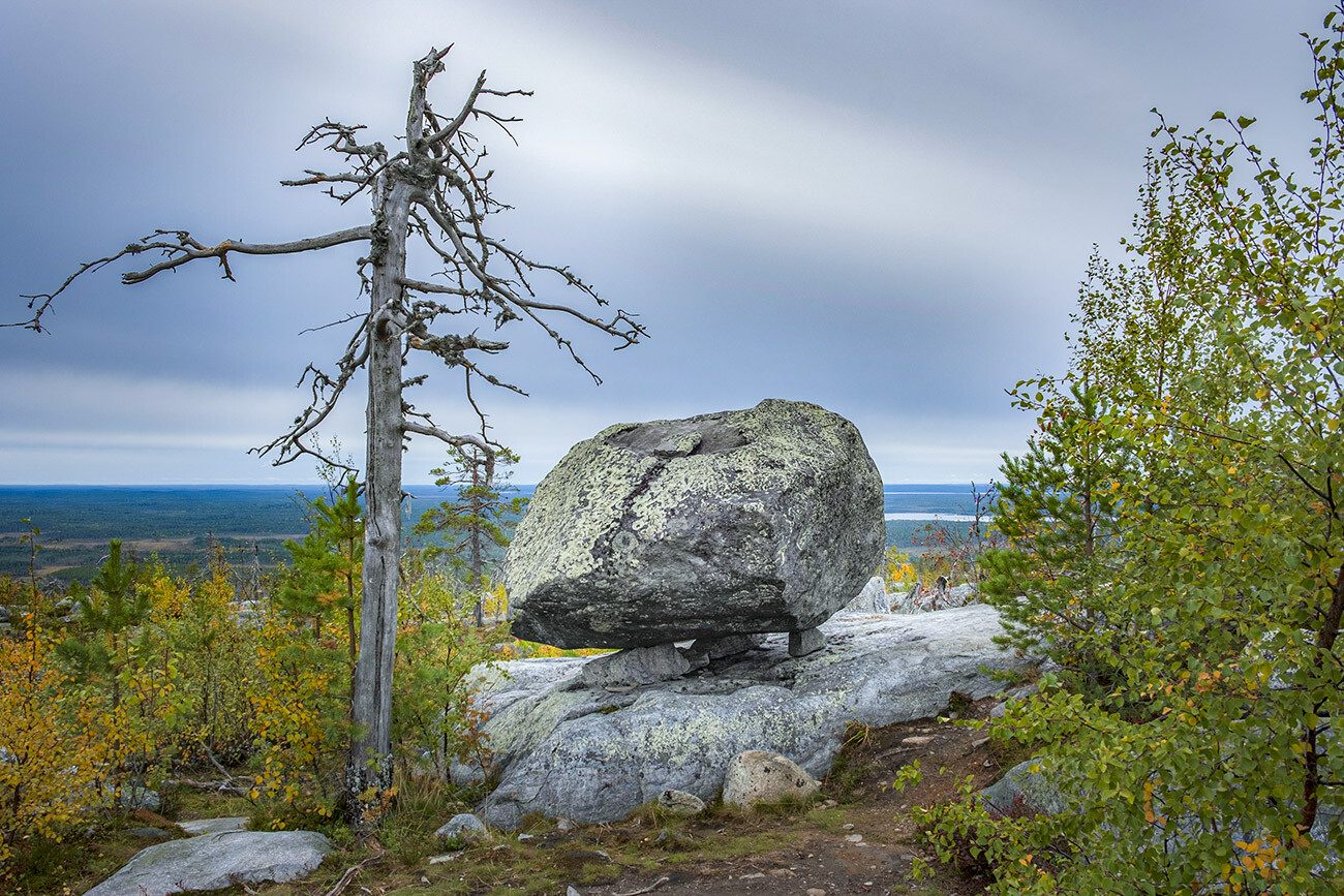
These strange objects, sacred to the Sami people, are located in Karelia and on the Kola Peninsula. One of the most famous ones are the ‘sieidis’ of Vottovaara, one of the tallest mountains of Karelia.
These pumice stone outcrops on Kamchatka look like the ancient boats – ‘baty’ – of the Itelmen peoples, standing vertically. Their height reaches 110 meters. The pumice stone mantle formed 8,000 years ago; in their present state, the rocks have stood for 5,000-6,000 years.
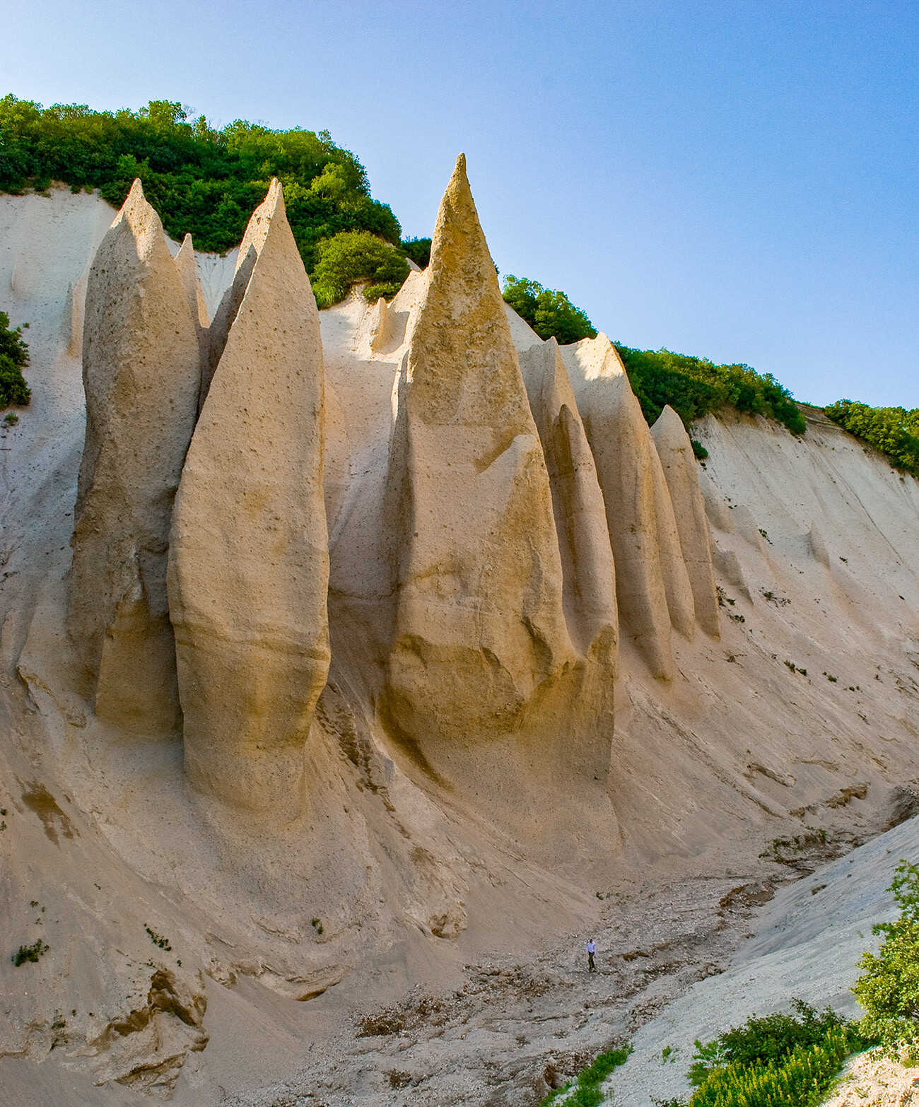
Stepan Krashennikov, a Russian geographer of the 18th century, wrote down the legend of Kutkhiny Baty from local word of mouth: “According to legend, a god named Kutkh lived in these parts, rich with fish. In his ‘baty’, he went onto lakes and seas to fish. Leaving these places forever, Kutkh left his boats to dry and they turned into stone.”
These spheres are located on Champ Island, in the Franz Josef Land archipelago in the Arctic. Their diameter varies from 2 centimeters to several meters. There are several versions why these stones have such a smooth and round shape.
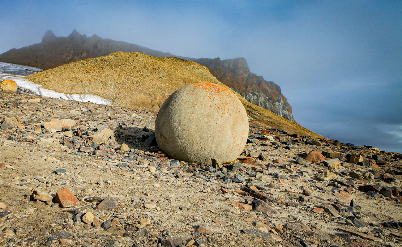
Stone spheres have also been spotted in Crimea, Kazakhstan, the U.S. and New Zealand.
In Akkurum in the Altai Mountains, you can find “growing” mushroom rocks – which are also called ‘kurums’ (like the stone rivers). Such an unusual formation appeared, because the rock of the stone caps is harder than its “stalk” and is more resistant to weathering. The height of the mushrooms reaches 7 meters, with the diameter of the cap up to 2 meters.
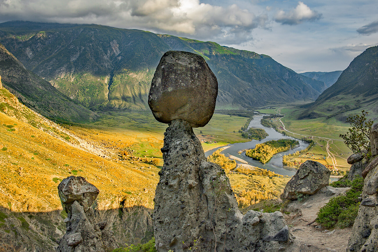
With time, due to winds, rain and temperature changes, some of the mushroom stones deteriorate and their caps fall down. Others, on the contrary, grow: under the assault of winds, their stalks grow thinner.
This unusually-shaped ridge is located on the outskirts of Kislovodsk, Stavropol Territory. The ‘gates’, with a diameter of 8-9 meters, appeared inside of a rock made of sandstone also as a result of weathering and erosion.
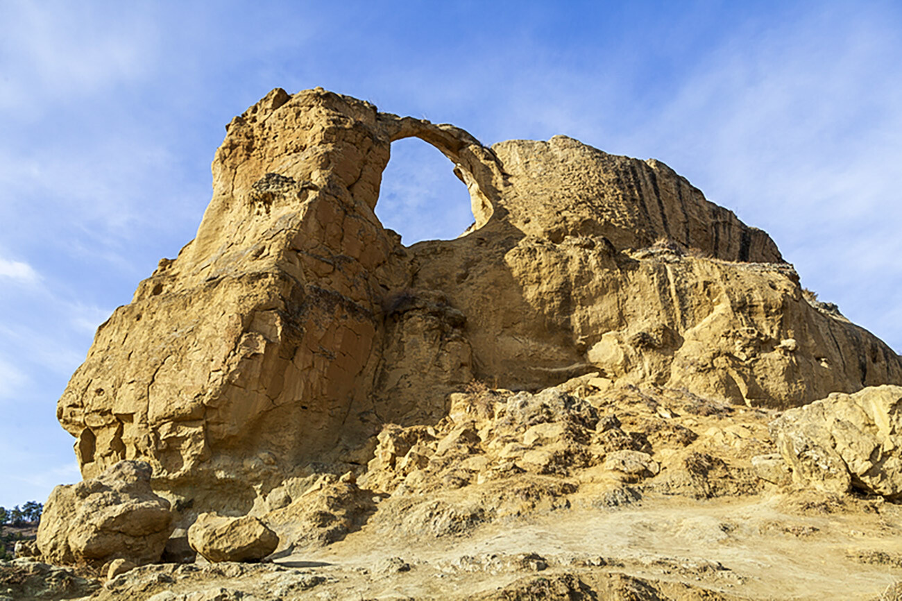
The ring is not the only feature of this ridge. It has ten whole oval-shaped grottoes of different sizes, giving the mountain a look of a “cave city”.
The Tuzlukh cliffs are located near the village of Malorechenskoye in the vicinity of Alushta on the Crimean Peninsula. They’re made of quartzite sandstone; a multitude of grottoes and caves inside were formed by waves and storm winds.
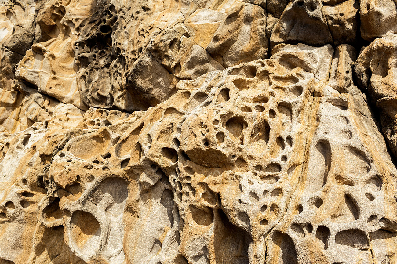
Because of their shape and color, these cliffs were dubbed ‘cheese rocks’. You can’t see this beauty from the shore, however – you’ll have to get down to the water.
Dear readers,
Our website and social media accounts are under threat of being restricted or banned, due to the current circumstances. So, to keep up with our latest content, simply do the following:
If using any of Russia Beyond's content, partly or in full, always provide an active hyperlink to the original material.
Subscribe
to our newsletter!
Get the week's best stories straight to your inbox